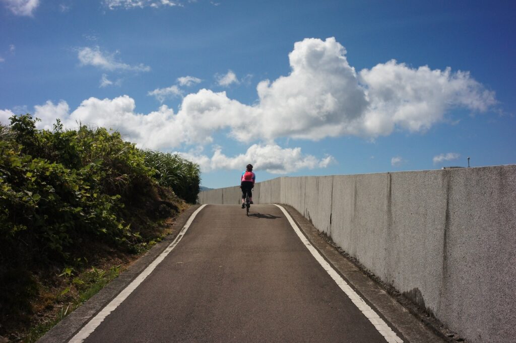
GoogleMaps, Velodash, komoot and bike computers are the navigation tools I find very useful when I am having a cycling trip in Taiwan. The pros and cons are also discussed in each sections.
When using the navigation tools, please pay attention to traffic conditions and obey traffic rules. Some roads do not allow bicycles, such as freeways and expressways. You can identify these roads by looking for four yellow Chinese characters, ‘禁行機車’, painted on the road surface at their entrances.

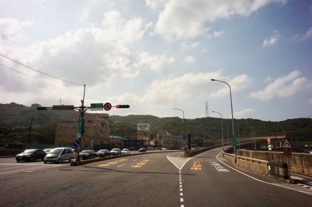
For more details, please refer to this post: https://www.bikeexpress.com.tw/2019/my-first-cycling-trip-in-taiwan-day-2/#trafficrules
Google Maps
Google Maps is an essential tool for travelling. I use it to find restaurants for meals and places to stay when planning my cycling trips on my desktop or smartphone. Once the destination is found, it routes on the fly and guides us there by giving us clear turn-by-turn instructions. Google Maps in Taiwan has had a cycling mode for several years. With this mode, we can see the elevation profile and estimate how difficult the route is going to be. It is also getting better at routing us to the dedicated bikeways in Taiwan. However, on some rare occasions, I found myself being guided to some paths that were closed.
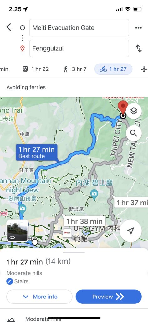
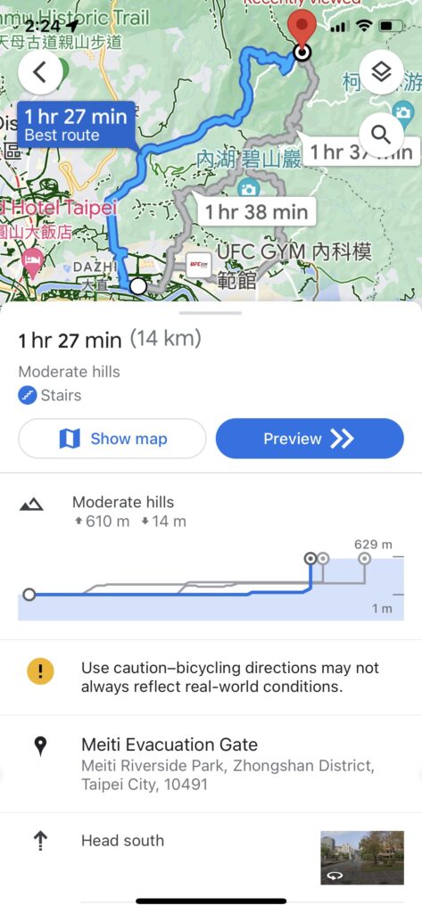
Google Maps is good at finding the shortest route for you but that may cause you to miss some nice spots or scenic roads if you don’t plan carefully. We need to do our research and plot the route by ourselves if we want a better experience.
One time I managed to load a GPX route to Google Maps and tried to use it for navigation. Not only did the process involve lots of taps, the turn-by-turn navigation feature was not available in this mode. Furthermore, the route could disappear suddenly. So my conclusion is we need some dedicated cycling Apps to guide us along the way. But I still use Google Maps when there is a change of plan or get to my hotel for the night when I am on a trip.
Velodash
Velodash is a cycling event management App. We can either use the App itself or the Velodash website on desktop to plot a route, or import a GPX route into our account. Then we can follow the route on the App. Turn-by-turn navigation is not available on this App so we need to figure out the turns by ourselves. But once we get out of the cities, the roads in Taiwan are rather simple and straightforward.

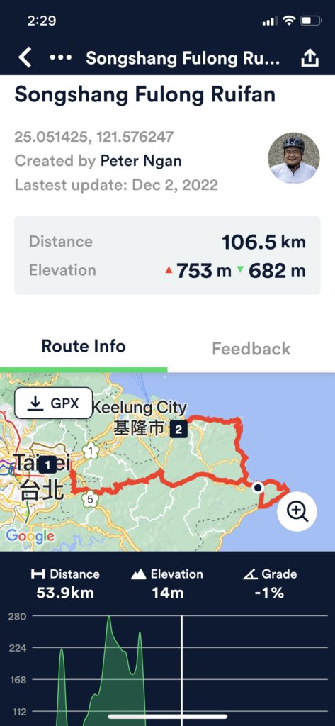
If you are cycling with a group of friends, you can create an Event on this App and invite your friends to join. You can then see each other’s location and speed on the App. We love this feature! Even if you are cycling as a group, some may want to stay a bit longer at a particular spot for photos, some may want to do a spin from time to time. It can be annoying if you always have to wait for someone or try to catch up. With Velodash, we can check on each other without keeping each other in sight, stay on the same course without being bound by the speed of others. I have a post on how to do it.
komoot
I started looking into komoot after learning that many of our customers from Europe are using this App. The minute I tried the App and realised that it provides turn by turn navigation, I decided to import all the routes on our website to komoot and post the links for our users. It’s very easy and convenient to use. Once you click on the link, you can use the route to navigate right away.
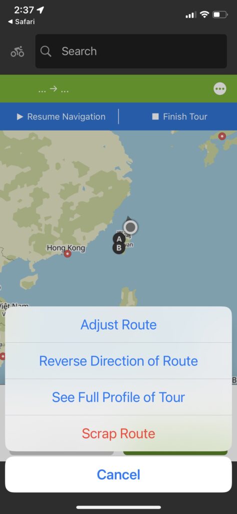
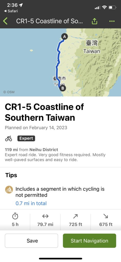
To create your own route, you can import the GPX route to your account with a desktop computer or with the App running on a smartphone. Or you can just plot a route all by yourself. If you find the route you’ve imported is going in the opposite direction, you can copy the route to your account and use the built-in function to reverse the direction of the route.
The routes and the map information can be stored locally for off-line use. Even if you have unlimited mobile data, this feature still comes in useful because it will save your phone’s battery life as your phone will consume less energy when it does not need to communicate with the server frequently for the map data. Not to mention that you might be cycling in an area with no mobile phone signal coverage.
You can also connect your Garmin account to komoot. The routes in komoot will Appear in your Garmin account. Then you can load the routes in your komoot to a Garmin device.
Limitations of Smartphone Apps
So, the abovementioned Apps running on our smartphones should be enough for navigation when cycling in Taiwan. I believe there are a lot more good Apps available out there. When you hire a bike from us, we will provide a smartphone case mounted on the handle bar for your convenience.
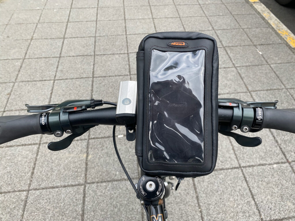
However, there are limitations when using a smartphone for navigation. All navigation Apps drain battery especially in the sun, when the screen is put to maximum brightness. A powerbank is essential for a full day trip.
On the other hand, most of our phones are not waterproof. Even if they are when they are brand new, they will no longer be after several months of use. I once had my iPhone 8’s lens all fogged up after using the phone in the rain for hours for navigation. It will help to put the phone inside a waterproof zipper bag. But then the water will make it quite difficult to operate the touchscreen.
That is why I use a dedicated bike computer, such as a Garmin Edge 530.
Garmin
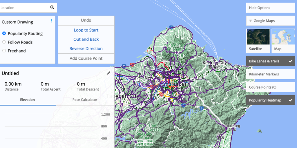
Garmin specialises in GPS technology for aviation, marine, automotive and outdoor activities. They have been making portable GPS devices well before the age of smartphones. I have a Garmin Edge 530, which is specifically designed for cycling. I usually plot my routes on the Garmin Connect website (https://connect.garmin.com). The map on the website has a Popularity Heatmap showing how popular a road is among fellow cyclists. Once a route is saved in our account, we can load it to our Garmin devices. There are different ways to do that. The most handy one is using the Garmin Connect App on a smartphone paired up with the device. However, you need to prepare your Garmin device before you can use it for navigation in Taiwan if your device is not purchased in Taiwan.
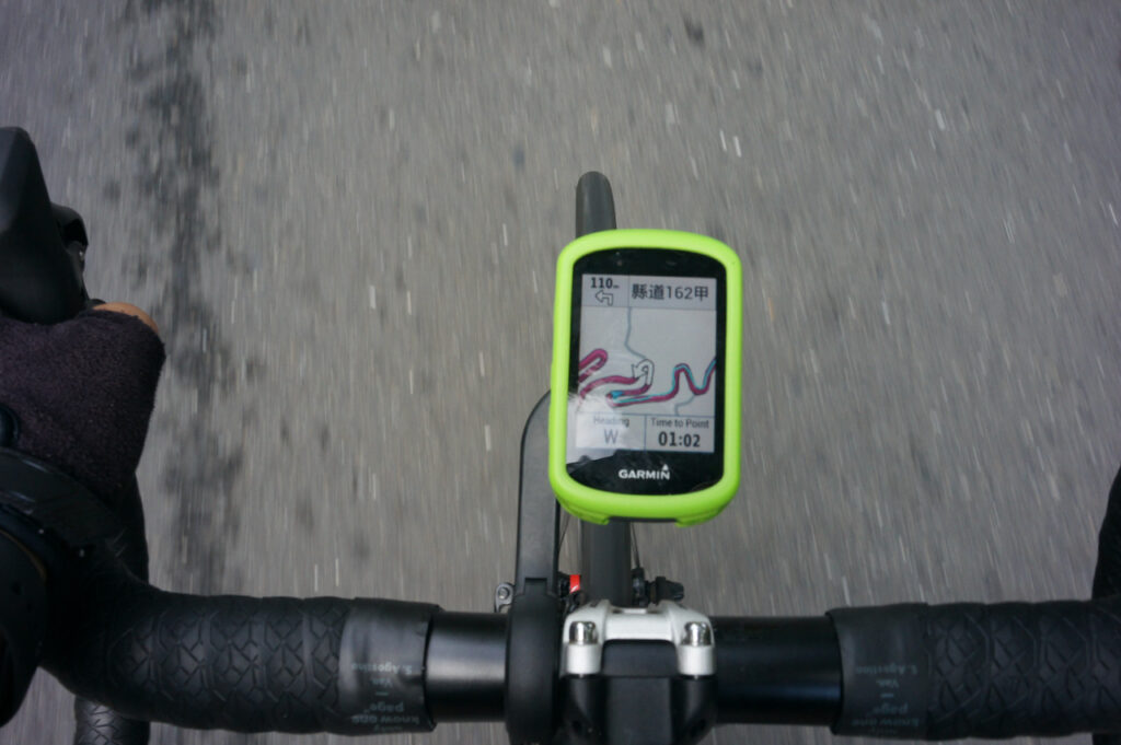
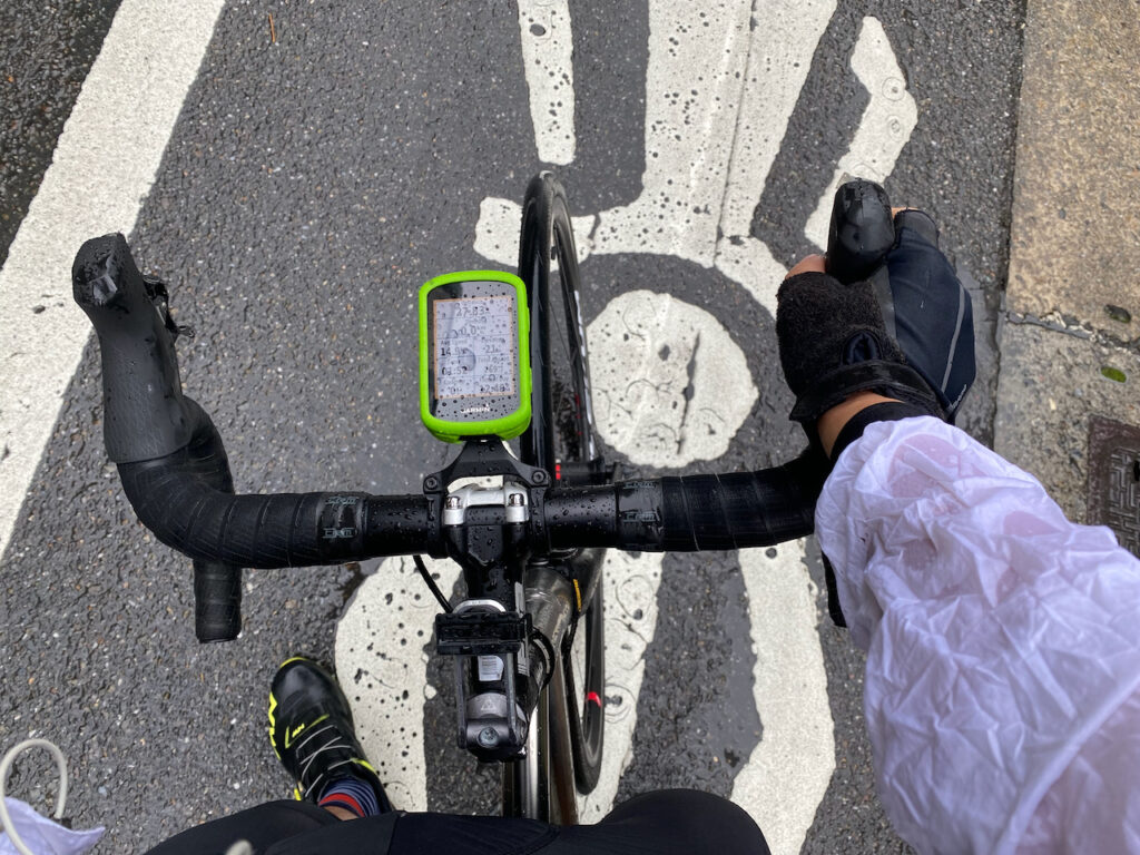
I love my Garmin Edge 530. It’s amazing that even with such a small screen, it can still give me very clear turn-by-turn directions. Prompts for upcoming turns are pushed to me in advance. When I see that the next turn is, say, 10 km away, I can just relax, follow my current route, and enjoy the scenery or other interesting things to see. If I deviate from the planned route, the device will plot a new one immediately for me to get back to my route.
The device will also analyse the route for sharp turns and long climbs. Warnings are sent in advance. When it’s time for climbing, it will turn to climbing mode by showing the elevation profile, the steepness and how many metres left to climb. All this info helps me allocate my effort and manage my speed more efficiently and effectively.
The device can operate under very harsh conditions. The screen is still very clear even on a very bright sunny day. Rains pose no issues, too. The battery can easily handle a full day trip.
When it comes to limitations and short-comings, I think it is not easy to zoom out and get an overview of the route. It’s also not easy to plan a route on the road. You can give the Garmin Connect a destination and it will make a route for you, just like what Google Maps does. You can then load it to the device. But you cannot plan a very detailed one. Also the device cannot reverse the direction of an existing route. You will have to do it on a desktop. The Garmin Connect App on smartphones can reverse short routes only. For longer ones, you can use komoot to do the job before uploading it to the device.
In short, it’s better to plan your route in advance on a desktop and you have to do it very carefully. If you put a waypoint on the opposite side of a road, the Garmin device will prompt you to make a U-turn to get there. This could happen when we import a route or when the GPS position is not precise enough. So, we still need to get an overview of our route before using the navigation.
To load the routes in the posts of this website to your Garmin device, just install the Garmin app “Connect” (Android iOS) on your smart phone. Tap on the link of the route and the Connect will be launched to open the link. You can then send the route to your Garmin device. You will need to load the maps of Taiwan to your Garmin device if your are bringing your Garmin from overseas.
Garmin happens to be the only bike computer I’ve used. Again, I am sure there are other great options out there.
